The rollout began in March 2025, focusing on Dublin's most critical fiber
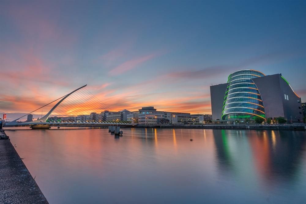
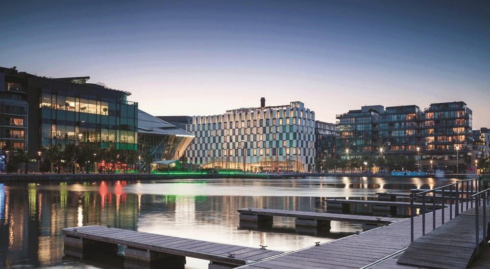
corridors: the City Centre, the International Financial Services Centre (IFSC),
and the Silicon Docks, home to Ireland's global tech companies. These areas
represent some of the highest-value connectivity real estate in the country,
where accuracy, reliability and speed are non-negotiable.
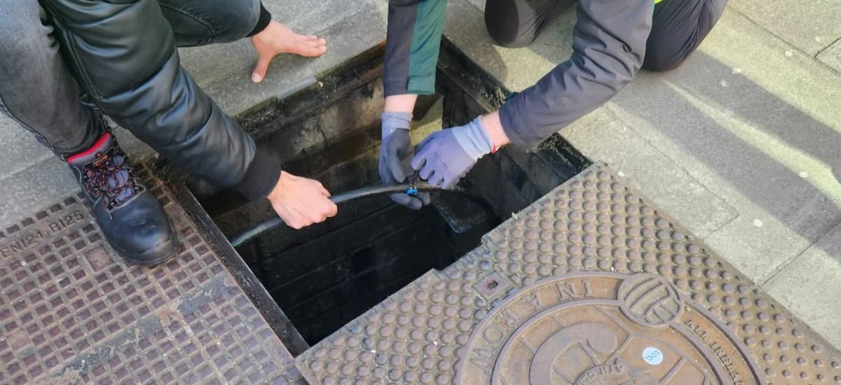
Novegen's challenge was not just to label assets, but to create a connected
digital record of its underground routes for Dublin City Council. With LOC's
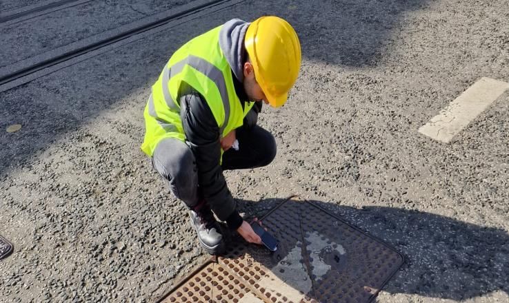
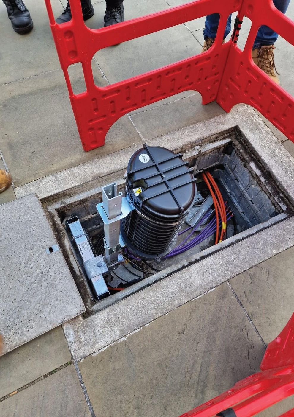
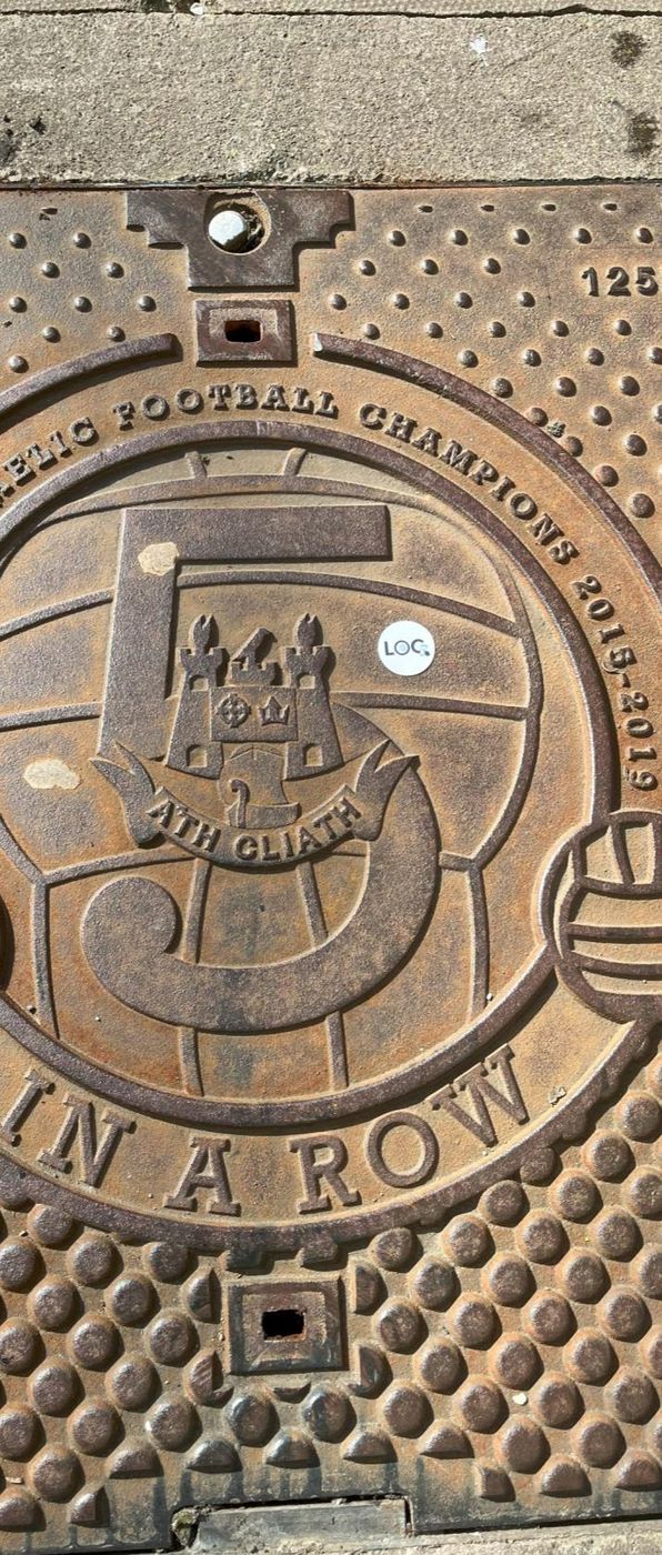
LOC Routes feature, engineers capture each conduit's journey from entry to
exit, with every vault and chamber linked as a stop along the way. That turns
once-static plans into a living record of the network's topology.
The result is a system where GIS planning and field documentation are no longer
separate silos. LOC's ArcGIS compatibility means every update made on the
ground reinforces the integrity of the GIS database, letting planners, auditors
and engineers work from the same source of truth.